


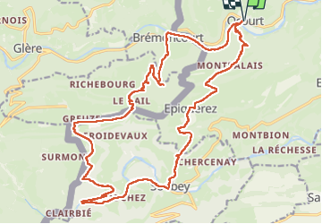

7.4 km | 9.1 km-effort


User


FREE GPS app for hiking
 SityTrail
IGN / Geographical institutes
SityTrail World
The world is yours!
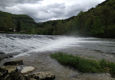
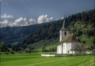
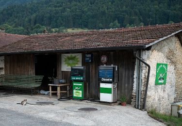
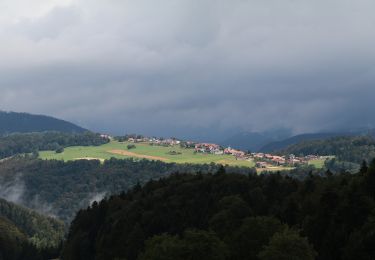
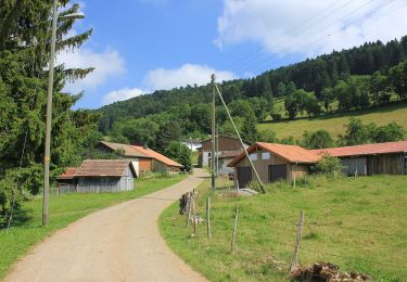
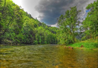
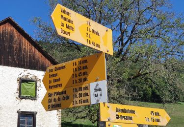
Trail Walking of 26 km to be discovered at Jura, District de Porrentruy, Clos du Doubs. This trail is proposed by cherlieu.
On foot
On foot
On foot
On foot
On foot
On foot
On foot
On foot
On foot